Oregon State’s camera tower was parked along Sunset Drive on June 16, and has been collecting video near continuously since then to observe waves and currents over the Asilomar ROXSI study area. Three cameras are at the top of the tower, overlooking Pico Bay, the cross-shore instrument array, and the southern shoreline. Foam drifting on the water surface has revealed … Read More
Wednesday Jun 29th: Look! Up in the Sky!
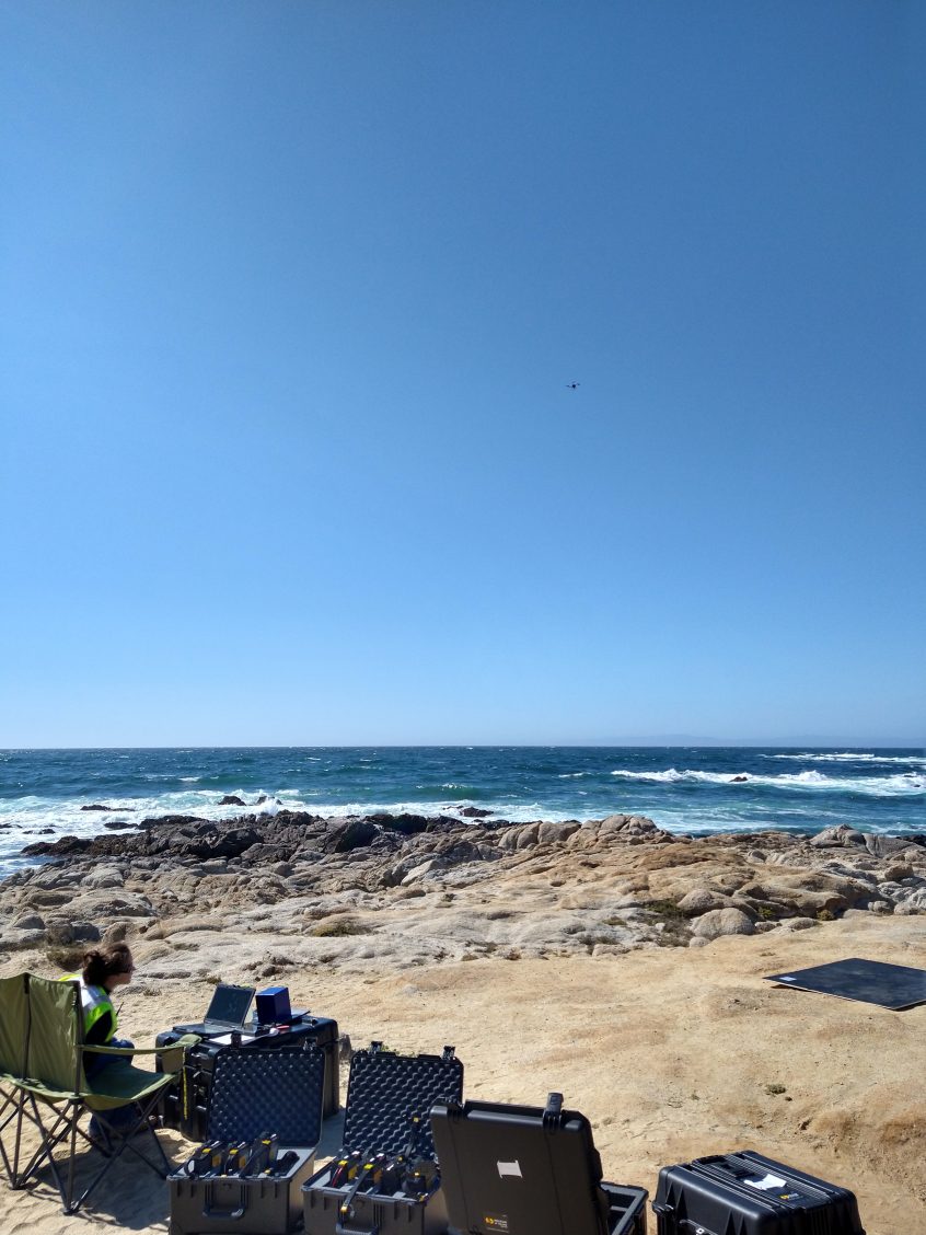
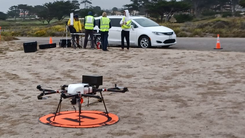
The weather miraculously cleared up enough for the Skyfront LiDAR Drone to go out for its first flight in Monterey today at China Rock. After some setup issues, it lifted off its landing pad. The drone was successful in flying for over an hour hovering at a few locations at 30 m above the ocean. We collected some great … Read More
Tuesday Jun 28th: Finishing Touches in Rough Conditions
Undesirable weather came around again today after a couple days with ideal conditions. The fog was thick in the morning which caused the second day of divejet surveying to be canceled. Regardless, the R/V Sally-Ann still went out to China Rock and Asilomar in victory at sea conditions. Several more ADCPs were checked to make sure that they were level … Read More
Monday Jun 27th: Start of Divejet Survey
The waves were minimal today, which made for a great day to bring out the divejet for the survey. A Signature 1000 ADCP was mounted on the divejet with the transducers facing down as drivers drove around the array on the surface of the water to cover areas that weren’t already covered by instruments. Drivers took 45-60 minute shifts on … Read More
Sunday Jun 26th: Installation of Small Scale Array Complete, and Goodbye Grad Students!
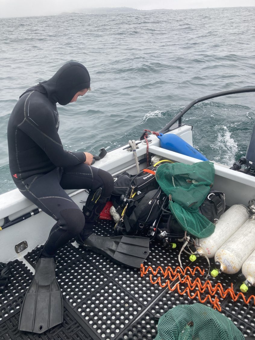
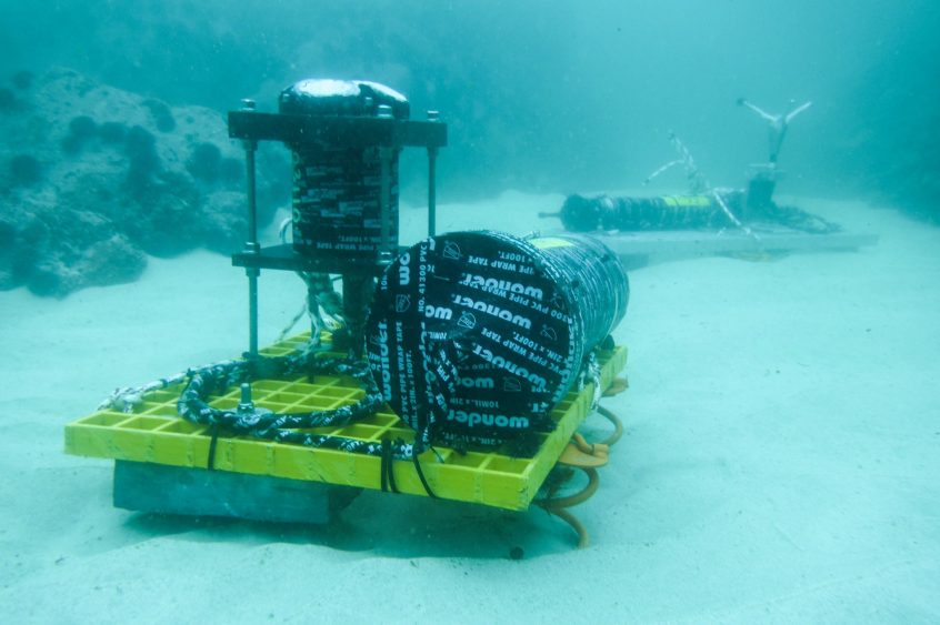
More than 20 dives and 40 chilly underwater person-hours later, installation of the small scale array was completed today! Many thanks to the awesome dive crew: Tony, Alyssa, Duncan, Loren, Annie, Kent, and Johanna, and boat crew: Kate, Kent, Rob, Kanoa, and Falk. Over the past 3 weeks we prepped the rock and installed 5 ADCPs, 10 Vectors, and 10 … Read More


