
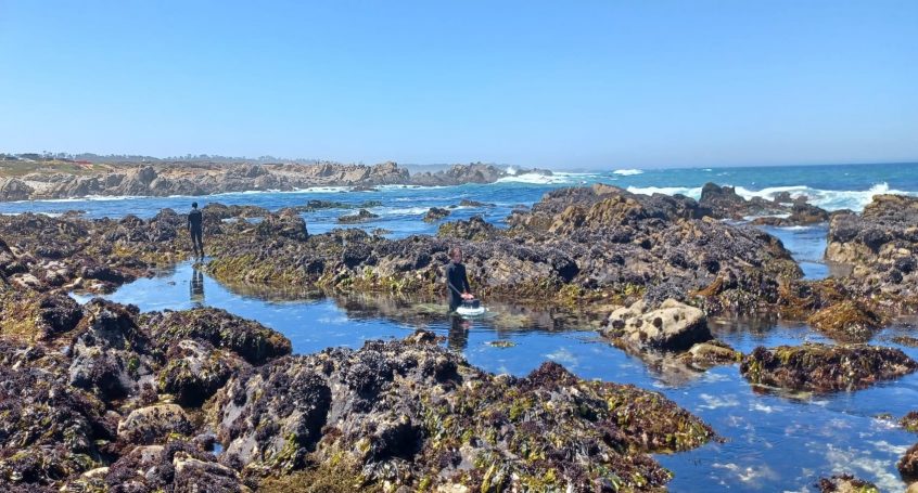
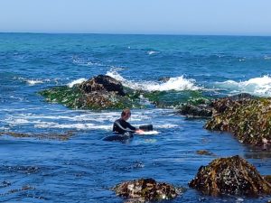
No offshore work was done today. At low tide, GPS marking was done at China Rock. Unfortunately, this low tide was not as low as the low tide that coincided with the initial deployment of the nearshore instruments, which meant that most of the instruments were deeper underwater and harder to see. With no surface expression buoys marking the ADCPs, it took a lot of searching to finally find their positions. The pressure sensors were a little easier to find since they were marked by white crab buoys or yellow peanut buoys at the surface. Some instruments were located in hazardous spots due to close proximity to rocks, waves and strong current, so the decision was made to wait for a calmer day to mark those locations.
ADCP located under the GPS receiver, checking to make sure instrument is still level and hasn’t been tampered with
In the afternoon, a meeting was held at Stanford’s Hopkins Marine Station to discuss the logistics of the deployment of the small-scale array the following day.
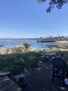
View of the Monterey Bay Aquarium from Hopkins Marine Station