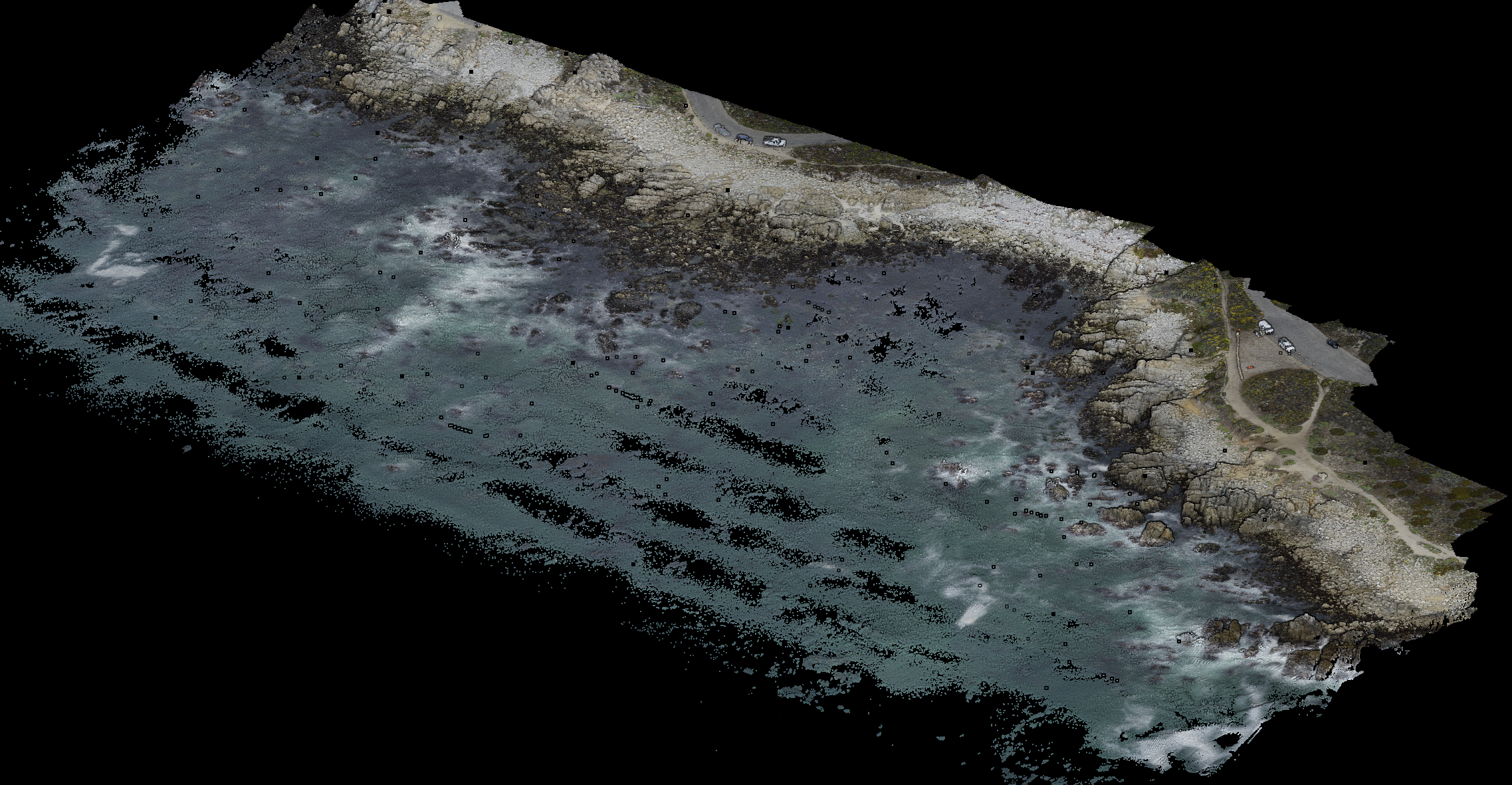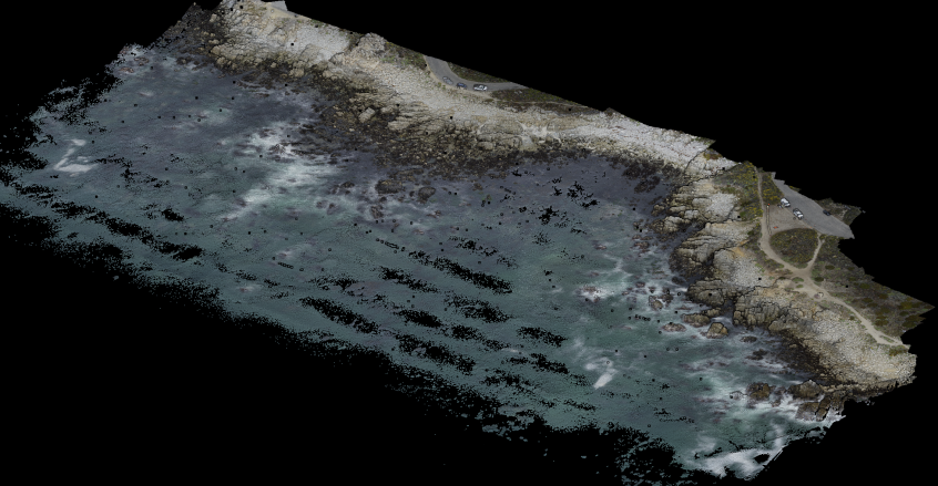
On Wed July 6th, a UAS survey of the low-tide bathymetry / topography of China Rock was completed. A lawnmower pattern was flown at 50 m above the takeoff deck at a speed of 6 m/s. The survey itself took about 13 min at low-tide. Rob then processed the lidar data and colorized it with the camera images. The result is pretty stunning in how much detail we can see. The region that is dry is fully surveyed. The region of water is not completely covered. This will give us detailed coverage of the roughness of the intertidal region.