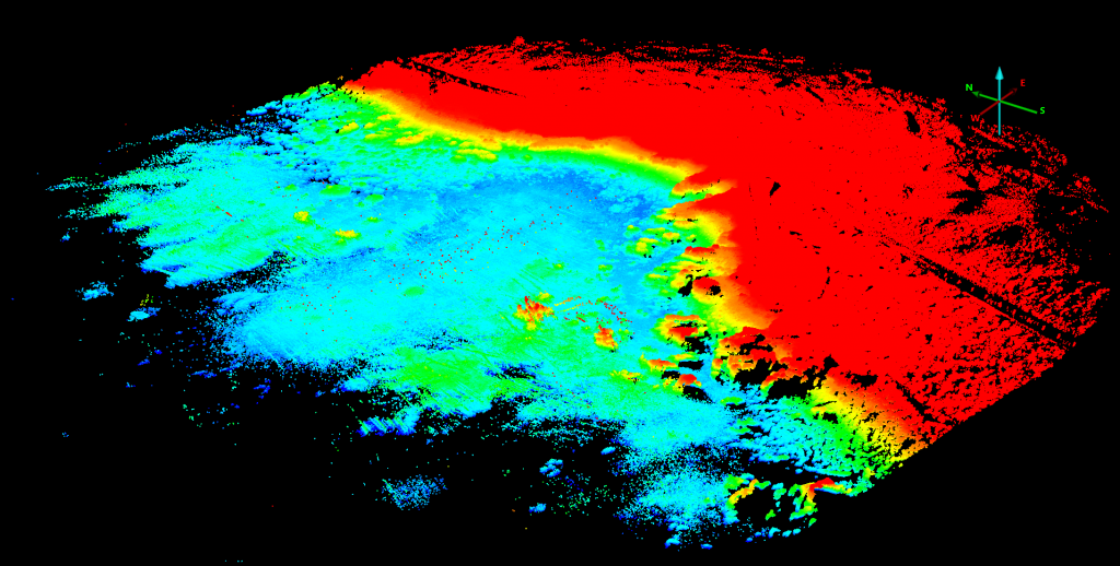
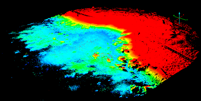
Friday Morning we continued our UAS lidar surveys of China Rock. In particular we focussed on cross-shore transects along the B-line, C-line, and A-line of China Rock. The data returns are excellent. Below is a image of uncorrected lidar returns for the B-line only.The entire bay of China Rock and the headlands are beautifuly visualized.

Visualizations of B-line survey lidar returns by Rob Grenzeback.
These A-line, B-line, and C-line are indicated in the map below.

Blow up map of China Rock highlighting the instrumented A-line, B-line, and C-line.
The tide was not low enough for this to serve as a bathymetry survey but the potential is clear. We will do a proper bathymetric survey later in the experiment when we get good spring low tides.

